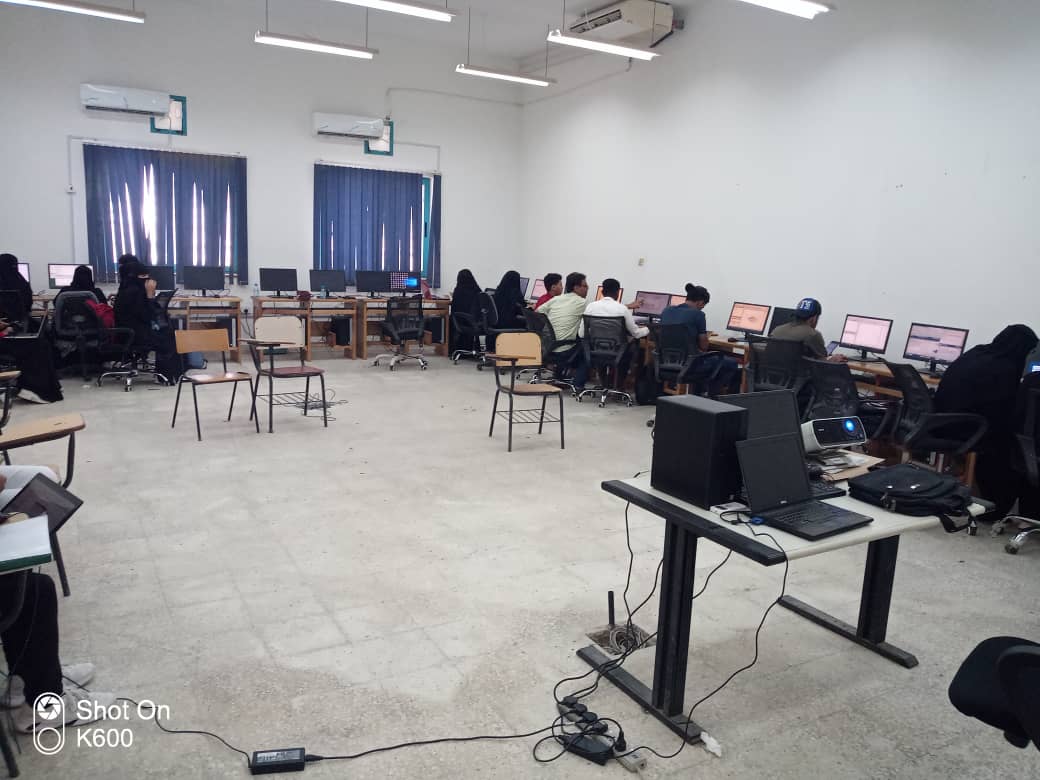
On Monday morning, March 21, 2022, the training program on making contour maps by using the server 10 and Google Earth programs was concluded, in which more than eighty second and third levels students participated from civil engineering and petroleum engineering departments.
During the training program, the participants got acquainted with contour maps, which is one of the topographic maps, and is important for many specialists, including geographers, engineers, and geologists. The participants were introduced to the symbols which are used in the maps, including point codes, linear symbols and cadastral symbols. In addition to the definition of the contour map, which is a map that shows the terrain of the Earth through a number of drawn contour lines. They also learned about the contour line, which is an imaginary line that passes through areas of equal proportion from the sea surface, and each contour line has a number that represents its level from the sea level, whether positive or negative.
It is noteworthy that this training program was inaugurated on the ninth of this month, as the students were divided into three groups. It is also worth noting that these courses are held in coordination between the Petroleum Engineering Society and the Kuwait Knowledge and Technology Station, under the supervision of Engineer Muhammad Hussein Bazara’a.